-
Notifications
You must be signed in to change notification settings - Fork 9
Options: Colour correction
Matt edited this page Aug 18, 2022
·
2 revisions
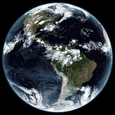
A colour tint is applied to satellite imagery in order to avoid clouds appearing grey. The default tint is #1b3f66, but any RGBA value can be used.
Tint is applied using the -t / --tint argument, with or without the leading #.
Examples, using #244456, #0e3b66, and #03517d, respectively:
[Atmosphere] colours are defined in Gradients\Atmosphere.json.
sanchez -o output\geostationary -s sample-images -t 244456
Brightness and saturation can be applied to the final image using -b / --brightness and -S / --saturation. Both can nominally be set to values from 0.0 to 1.0, however values over 1.0 can be specified with possible loss of detail.
sanchez -o output -s sample-images -S 1.0 -b 1.2


