Skip to content

Converts satellite images to map images using pix2pix models

Notifications You must be signed in to change notification settings

manishemirani/pix2pix_google_maps

Folders and files

NameName
Last commit message
Last commit date

Latest commit


History

31 Commits


Repository files navigation

pix2pix_google_map

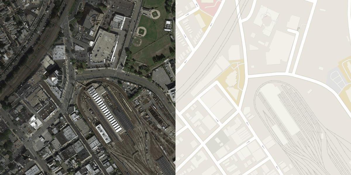
This code is an example of image2image architecture on google maps pictures which took from New York City.

alt text

This model will create an image like a target image which is Map, from the input image, which is a Satellite image

Result images:

alt text

alt text

alt text

You can also change the number of epochs for better pictures or try other datasets

NOTE: All numbers(e.g lambda, conv size, ...) are from the image2image article
About

Converts satellite images to map images using pix2pix models

Topics

Resources

Stars

Watchers

Forks

Releases

No releases published

Packages


Languages