A project to explore various satellite imagery classification techniques in remote sensing.
Methods to be looked into: (Tentative)
- Pixel-Based Classification
- Object-Based (Obejct-Oriented) Image Analysis Classification
- Machine Learning / Deep Learning based classification
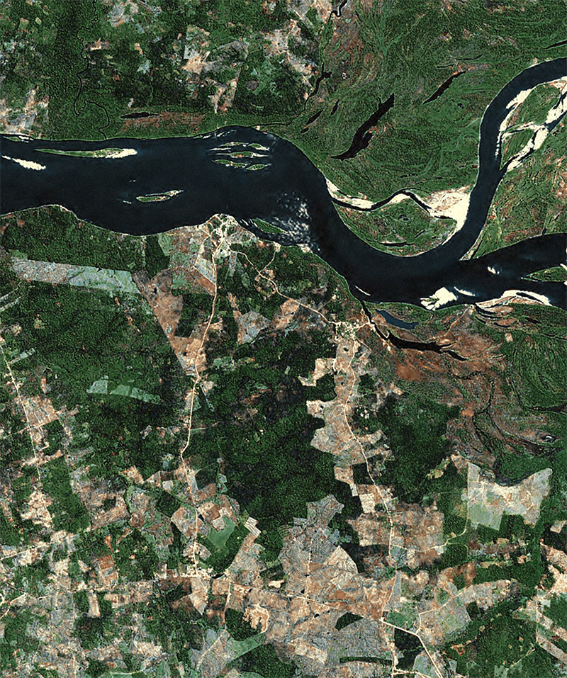
Harris Globe-15 15m (Source)
| Original LANDSAT | Classification (3-Classes) |
|---|---|
 |
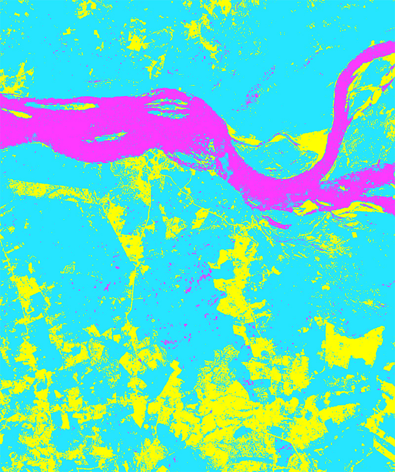 |
3 classes: | pink: water | blue: vegetation | yellow: land |
Hexagon 30cm (Source)
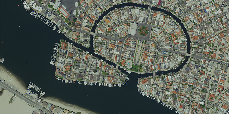 |
|---|
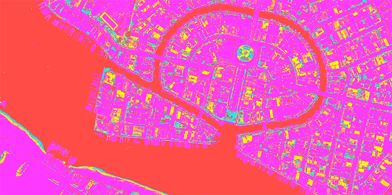 |
4 classes: | red: water | magenta: land | blue: vegetation | yellow: tile |