Skip to content
New issue

Have a question about this project? Sign up for a free GitHub account to open an issue and contact its maintainers and the community.

By clicking “Sign up for GitHub”, you agree to our terms of service and privacy statement. We’ll occasionally send you account related emails.

Already on GitHub? Sign in to your account

Aleady have a otcomap, How can I use adjust this project? #10

Open
ElderWanng opened this issue Apr 27, 2019 · 2 comments
Open

Aleady have a otcomap, How can I use adjust this project? #10

ElderWanng opened this issue Apr 27, 2019 · 2 comments

Comments

@ElderWanng
Copy link

Hey there! Thank you for your awesome project!
Recently I've built a SLAM system with stereo camera. ( I didn't use RGBD camera )
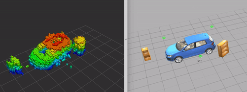
My project can out put a global octomap or points cloud incrementally,
sample
like this, after drone flying around the building, the VOXEL can be seen in the RVIZ.

NOW I wanna use your project to implement a avoidance function, I use VIO to estimate pose and send them to PX4 by /mavros/vision_pose/pose, and I stitch points cloud generated by stereo camera to build a global map. ( For the moment let us assume that called /map_out )
Can you show more hint? Which topics or action in path_planning I should subscribe to, publish to or modify the topic name?

@ayushgaud
Copy link
Owner

The reconstruction looks quite good!

Regarding the explanation please take a look at this issue .
In summary, you need to create an octomap and provide it to "/octomap_binary" topic and your odometry to "/bebop2/odometry_sensor1/odometry" topic. The goal point needs to be published to /clicked_point topic while you will receive the waypoints from RRT* at topic "waypoints" and minimum jerk trajectory at "/bebop2/command/trajectory".
You can use RViz to visualize everything. I also publish trajectory markers so it will look like this

@yashagarwal9
Copy link

Hi Ayush,
I really liked your work. I am working on building a system which can guide a visually impaired human to navigate through indoor conditions. I have generated a point cloud using ORBSlam2 and converted it into octomap. I am planning to use your implementation for the same. Can you give your inputs on it? I'm also planning to use Navigation Package of ROS but it requires 2D map which I think will work but I need to get the location of the objects like doors, stairs, etc which I may not get in 2D map. What are your suggestions?

Sign up for free to join this conversation on GitHub. Already have an account? Sign in to comment
Labels
None yet
Projects
None yet
Development

No branches or pull requests

3 participants